I never served to keep my country safe.
When I was young, I left that up to others.
But now Perhaps I have another chance
to serve, to pay the debt again that once,
so many times before was paid for me.
There are more ways to serve than soldiering.
What can i do to most effective be?
Computer Programmer, a.k.a Software Developer, a.k.a Software Engineer,
Software Tester,
Software Technical Support
System Admin
B.A. Computer Science, Prinipia College 1983
I met Dr. Eugene Levin, Professor of Integrated Geospatial Information, in his office on the eighth floor [2] of the Dow building on the Michigan Technological University on Friday, November 1, 2019. We spoke about my interest in earning a Master of Science degree in integrated geosptial information at Michigan Tech and some of the possible paths in which this might lead.
One of these paths, one which had not really been on my lidar, was GEOINT, Geospatial Intelligence. Dr. Levin explained briefly what it was and we moved on to discuss other things. But later the next day, on my drive down America’s Prairielands to America’s Swampland, I began to become more intrigued. The words above came to me, nearly in poetic form, and so, I wrote them down.
Is this my path? Could this be a further resolution to the guilt I sometimes feel, the feelings I expressed in my poem, Soldier at an Exhibition? [3]
Other words of wisdom from Dr. Levin
Check out job postings. Find your ideal job, research what its requirements are, then go get them.
Build on the skills you already possess. Do not stray too far from what you know, especially if you are no longer a spring chicken.
Take part in group activities, like the Geospatial Tea Rooms.
[1] GEOINT: Geospatial Intelligence (GEOINT) is defined in the United States Code, Title 10, section 467 as follow: “The term ‘geospatial intelligence’ means the exploitation and analysis of imagery and geospatial information to describe, assess, and visually depict physical features and geographically referenced activities on the earth. Geospatial intelligence consists of imagery, imagery intelligence, and geospatial information.”
[2] Dow Building, 8th floor: As you enter the Dow building on the campus of Michigan Tech from the south at ground level, you find yourself on the building’s 6th floor. Just stroll past the cafe into the elevator and check the buttons.
Drafty Integrated GIS MS Thesis 2018/12/09, 2019/10/20 Paul Guernsey
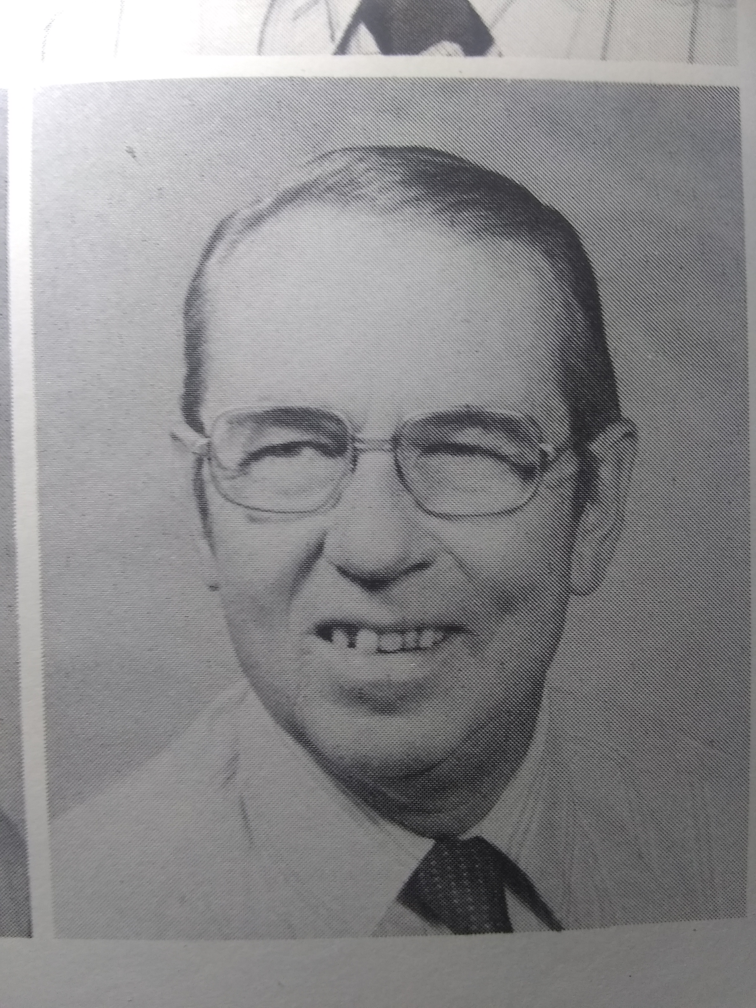
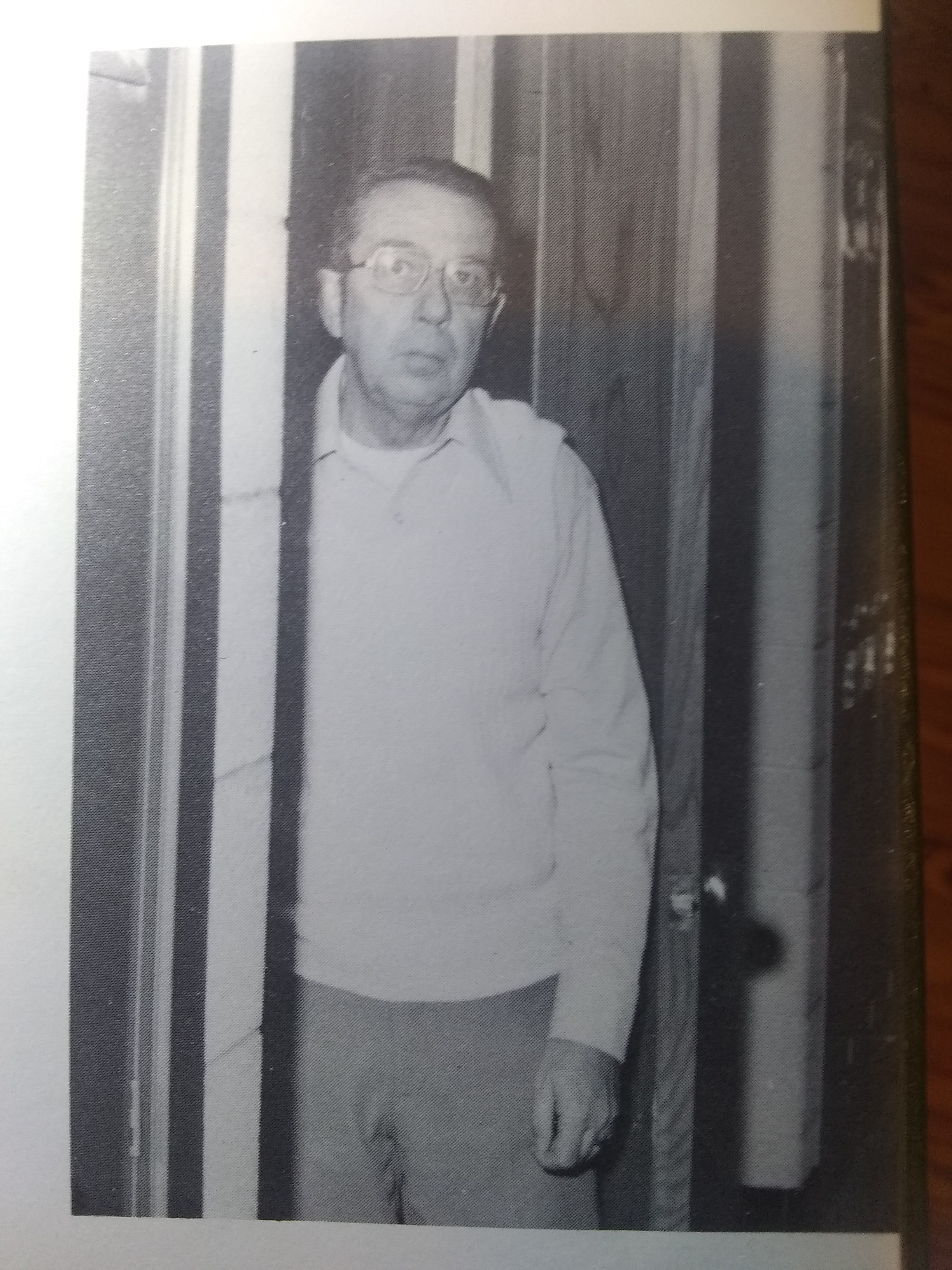
Remembering Mr. Carroll and Mr. Clarke, Cass City High School teachers, mid 1970’s
101 Years at C.C.H.S.
“The six most familiar teachers at C.C.H.S. have a combined total of 101 years of teaching experience… Mr. Carroll has spent 7 years teaching driver education to students during the summer, while Mr. Clarke has spent his 23 years at Cass City sponsoring Future Farmers.” [Cass City High School year book, “Perannos”, 1976]
“Lyle Clarke sponsored Future Farmers of America and is knows as ‘Dad’ to all of his Ag. students. Richard Carroll braved another year of driver’s training students after a year of typing and booking classes.”
[Cass City High School year book, “Perannos”, 1978]
Let me be frank. Mr. Carroll was the singularly most uninspired teacher in Cass City High School for generations before and since. His students assigned him many names, none as respectful as “Dad.” YET, he imparted to me and my classmates one skill that advantaged us profoundly for the rest of our working and non-working lives: the ability to type (also to drive, but that is a different story [link to future post]). Typing was considered an academic pursuit back then, reserved for the college bound, or for secretaries under the service of some lofty executive, lofty enough to be above such things as keystrokes. Little did we know that Bill Gates had other uses for our typing. Little did I know that my programming career would be built upon the noisome activities of Mr. Carroll’s room, the clicking of keys, the shhhhunk-ding of the carriage as it returned home to its left margin stop.
Will spatial data and GIS be as ubiquitous and proufoundly useful to future workers as typing has been for our generation? I do not know.
I did not live on a farm, so was a “city kid” in the culture of the Thumb of Michigan. I never knew Mr. Clarke, but I have known and studied under educators to whom “Dad” or “Grandpa” would have been keenly apt. There is no substitute for the kind of enthusiasm that rubs off certain teachers and dusts the student mind with spores of interest. I am not a teacher, but I believe that spatial data and maps are fascinating. We have only just begun to leaverage the tools recently made available in this field. I believe that for today’s students, stepping into an age of drones and the remote sensing of data, maps will become more and more useful for communication and persuasion. The required knowledge scales heights far beyond the biomechanics and muscle memory needed for typing. We have a great deal to teach our youth to prepare them for that kind of workplace. I have only begun to learn myself, but we all begin from this place of darkness, seeking light.
Will this course of study lead me to teaching or just to different levels of my own career? I do not know what I will decide later on, but I do know where my interests lie at this moment and these I will pursue. Beyond that, I choose to defer judgement until I have more ability to judge, but I did have some thoughts about GIS and education, so I include them, here. I had originally considered this an initial draft of my Masters Thesis, but I really don’t know what one of those looks like.
assumptions
The earlier a subject is introduced, the more likely students are to connect with it on a passionate level.
Kids naturally want to contribute in a meaningful way back to their parents and communities who have given them so much.
purpose
The purpose of my Thesis is to
Provide an answer to the question, “How are we going to keep them down on the farm…?” Let’s start turning “down on the farm” into “up on the farm,” the place to stay for a high-tech, high-reward, high-quality life.
Provide a satisfying and lucrative career for myself with more time outdoors and less time sitting at a keyboard.
Drones are superior to satelites for spatial resolution. Pixel size is “30 meters for Landsat 4-5 TM and Landsat-7 ETM+”, while a typical drone pixel represents as small an area as 6 sq cm. [3] While drones are too expensive for widespread use at the moment, this is just a manufacturing problem. Drone price and supply will very soon not be a significant factor in the ag geospatial market.
Given the approaching ubiquity of low cost drones, how can we put Michigan in the center of the Ag GeoSpatial map,” metaphorically speaking?
To me this is neither a hardware, nor a software issue, but an educational one. Regardless of how cheap drones become, nor how sophisticated or user friendly software becomes, someone still needs to launch the aircraft, upload and process the photos into GIS data, analyze and understand the results. Furthermore, the results need to be meaningful in terms that matter most to the Farmer: Crop Yield. And who better to do this than the tech savvy, video game controller wielding farm (and farm town) kids, the kids being educated now in our rural secondary schools?
“The purpose of a UAS [6] is to help you look at a particular challenge from a different angle – literally. The more information you have at your fingertips, the better informed decisions you make.” [7]
“In the next 10 years, farmers will have to have successfully managed the areas listed above while dealing with more regulations and a population that understands production agriculture less and less. We will have to educate our end user better.” [8]
An IM [instant messaging] conversation with A Real Farmer in the Thumb of Michigan concerning the use of drones in farming 2018/11/26 08:06
[Paul] Kris, I have a Farming / Education question. Figured you’d be a great person to ask.
[Kris] I will try. I can always tap a few resources nearby.
[Paul] Ha! I did not expect such an immediate response!
[Kris] Snow day today ….you remember lol Paul
[Paul] I have been accepted into Michigan Tech’s Integrated GIS Masters Program. There is a company near you, Thumb Drone Works. I keep thinking of using GIS technology on farms, but I also keep thinking about teaching GIS in high school. I am wondering if I am just being a dreamer. Is any of this really needed on a farm? GIS should interest the students. Drones and stuff. I also think it would be a bridge between farm kids and city kids, if that is a thing any more.
[Kris] I would say yes drones are needed and used. Mike will have more insight. I will have him add information at lunch time. Sounds like a great direction to be headed in.
[Paul] OK. i will look forward to MIke’s input, and for more of yours. I’m off to work. Happy Snow Day!
2018/11/26 13:14
[Mike] Hi Paul, Mike here. That is an interesting question and one that I have taken some time to consider for our farm. Drones as an in season scouting tool are priced a little out of the market in my opinion(satellite images are cheaper). They both accomplish essentially the same thing. They both do an effective job of capturing variability within a field. That being said a yield monitor in a combine does the same thing. At the end of the day yield is what matters. Knowing that in season is interesting but oftentimes by the time a plant is showing stress it has already lost yield potential. Our experience has been they show us where the sandy or wet spots are, that is not of a lot of value to us (We already know where they are) and we can see that on a yield map at the end of the season. They may be a point in the future where we can target applications to specific points within a field I just do not think the technology is there yet on the application side.
2018/11/26 23:16
[Paul] Mike, Thank you for your candid analysis. I will do my best to temper my GIS studies with this kind of reality. I will also do my best to discover how to use the technology to actual advantage. I will do so with your words in mind. Perhaps when I have more knowledge I might ask you more specific questions. Thanks, again.
[email] Friday 2018/12/07 07:10 [subject] Aurelia, plus geospatial MS
GG,
I am really looking forward to the CDS conversion from Silverlight to Auralia and Javascript. This project will be great and I will start developing my new skillset right away!
I have been thinking for some time about the Silverlight deprication and its implications on my career. On November 15, I was accepted into the graduate school of Michigan Technical University for its Integrated GeoSpatial Tech Master of Science program (Fall 2019). Some of the courses can be done on-line and I plan to ramp up my degree studies gradually, to split my time between Florida and Michigan, and to continue working remotely while Up North. To secure more stable housing than I had last winter, I may need to take a quick trip or two up I-75 before the Fall.
Both these projects are very exciting, but I wanted to let you know about my Michigan Tech plan.
I plan to take a week+ vacation beginning on Friday, October 25 through November 4. I will be taking a computer and will be able to check in from time-to-time.
Also, I would like to announce that as of September 4, 2019, Susan and I are no longer married and we are in the process of conscious uncoupling [1] and disenmeshing.
Part of that process is finding a separate home and I am choosing to begin gently squeezing the trigger on pursuing my Michigan Technological University Masters degree program (see my Dec 7, 2018 email). To that end, part of my vacation will be spent on house hunting reconnaissance Up North in Houghton, Michigan, home of MTU. I was not able to start this program during the current semester as planned, due to the timing of the divorce. I have deferred moving until I can establish a residence. #ReasonableIdea
As part of the divorce, I have officially returned to my bachelor name, which is why you have been seeing this signature at the bottom of my emails:
— plg [Paul Lance Guersney]
[1] conscious uncoupling: Gwyneth Paltrow’s 2014 word for divorce.
2019/10/09 14:07 [Paul via IM] I did not say in my email, but I want to work remotely from Michigan, once I move up there. Keeping my job is an important part of the plan.
demonstrate a student’s passion for and knowledge of the intended plan of study using the language of the field;
specify the intended program, area of study, research interest(s), and desired advisor (if applicable);
describe any professional and/or presentation experience; and
for research-based graduate degrees, describe research, enterprise, and/or publication experience.
Students are also encouraged to review the research interests of Michigan Tech faculty before writing the Statement of Purpose.
mtu.edu.Statement of Purpose.txt Integrated Geospatial Technology – MS Paul Guernsey Player, October 2018
My love of maps began at least as early as my introduction to the sport of Orienteering as an exchange student in Sweden. It often astounds me how much data a simple map can convey. My career has taken me to mostly flat areas, where contour maps and orienteering have little use, but I remain more comfortable with a folded paper road map than relying on my phone’s GPS app. Even the lowly road map is saturated with information. I love a good legend.
The tools of GIS have blossomed. In my college FORTRAN class, we generated text-based maps of Lower Michigan’s Houghton Lake region, plotting areas more or less suitable for a solid waste landfill, with data points previously collected by our instructor. Since then, I have been professionally immersed in databases. SQL Server is a beautiful tool, but in combination with geospatial data and a GIS framework, plain old queries present so many options never before imagined. Stories can be told with maps succinctly and compellingly, and with an ease we hardly dared imagine back in my FORTRAN days.
My current employer would seemingly have had little need for mapping its data. It is primarily a sales company and most of its attention is directed toward individual interactions between our sales reps and prospective customers. Nevertheless, I decided to present the idea to management, partly as an effort to help the company, partly to satisfy own curiosity for the ArcGIS framework. I downloaded the SDK and got to learning.
My goal was to present a map of our customers in Italy, generated from data extracted from one of our on-prem databases. The first task was to convert our addresses into geospatial data and save these back into each customer row. I found the appropriate API call, got a unit test working and turned my attention back to the db. How would I store the geometry? A bit more research uncovered the SQL Server Geometry data type. I wrote code to convert the API result to this type and wrote methods to populate this new column. Back to the ArcGIS SDK and its user guide. One weekend’s worth of work later and I had my map looking good enough to present to my boss, who showed it to his boss. The word back from the CEO: “That is bad to the bone!!!”
The CIO was curious about how this could be implemented in our environment. I explained that it would require the addition of just a single column to the customer table and that the SDK came in various flavours (.Net, Silverlight, JavaScript), and that address changes would require a refreshing of the geometry column from the ArcGIS API. Now, we have an official medium priority task on the schedule to incorporate a map of our Italian sales reps into one of our apps.
ToDo:
continue working full time remotely for my current employer
learn GIS technology in a comprehensive way;
learn to gather my own data;
mtu.edu.Student Statements.guidelines
As part of the Graduate School application process, students are required to complete two student statements, a Statement of Purpose and a Personal Statement. Each statement provides unique perspectives and insights for reviewers. These statements are required to be completed through your MyMichiganTech application checklist and should not to be uploaded as supplemental documents. Students should pay careful attention to this section of the application, as many departments place strong emphasis on these statements.
Programs commonly have areas of interest associated with them. A current listing is provided at Areas of Interest List to aid students in completing this section of the application.
It’s time to learn something new, and valuable. Bouts of “retooling” have been a mainstay in my career. They have kept me interested in coding and kept me employable, even during economic downturns. One skill of the successful developer is the ability to select from many emerging technologies ones that will survive long enough to be worth learning. I have been fairly good at this, though not perfect. GIS is the next on my list, because I believe its growth potential is strong, and because I enjoy maps.
But I am not putting all my marbles into one rabbit skin pouch. While I have been a loyal Microsoft developer, I am also investigating the Aurelia framework, and Tim Berners-Lee’s new open source “Solid” project. I am really interested to see how I can integrate the ArcGIS SDK with that one!
I enjoy coding, but I plan to especially enjoy coding data onto maps. Since earning my first degree in 1983, my continuing studies have been mostly self-directed. I am looking forward to learning in a university setting again. I intend to take full advantage of both my professors’ knowledge and my fellow students’ enthusiasm. I hope for the new skills I am about to learn to provide me employment opportunities anywhere in the world.
mtu.edu.Student Statements.guidelines
As part of the Graduate School application process, students are required to complete two student statements, a Statement of Purpose and a Personal Statement. Each statement provides unique perspectives and insights for reviewers. These statements are required to be completed through your MyMichiganTech application checklist and should not to be uploaded as supplemental documents. Students should pay careful attention to this section of the application, as many departments place strong emphasis on these statements.
Programs commonly have areas of interest associated with them. A current listing is provided at Areas of Interest List to aid students in completing this section of the application.